




 USD $
USD $ EUR €
EUR € AED د.إ
 KWD د.ك
 OMR ر.ع.
Watch the Device in Action
Details
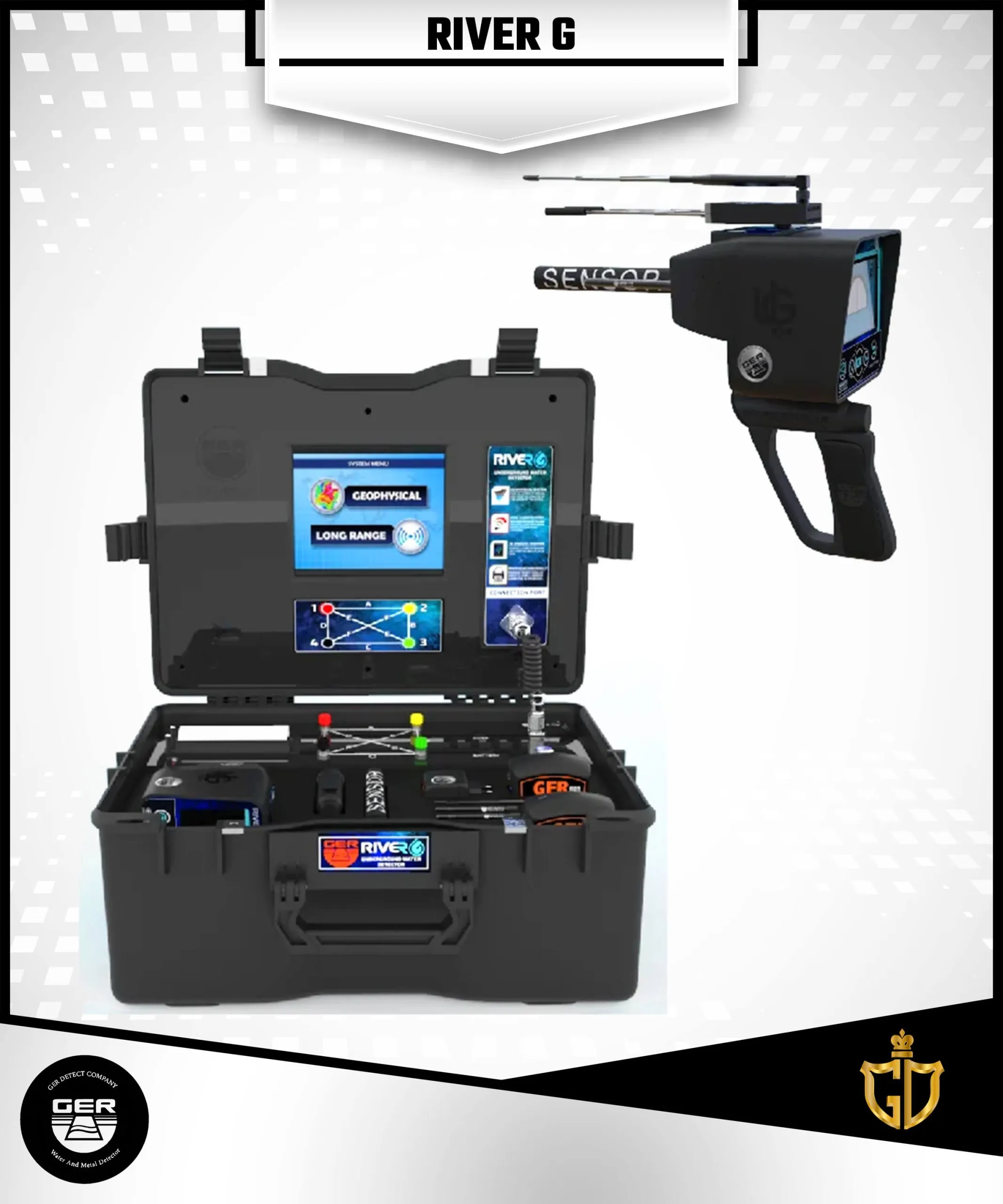
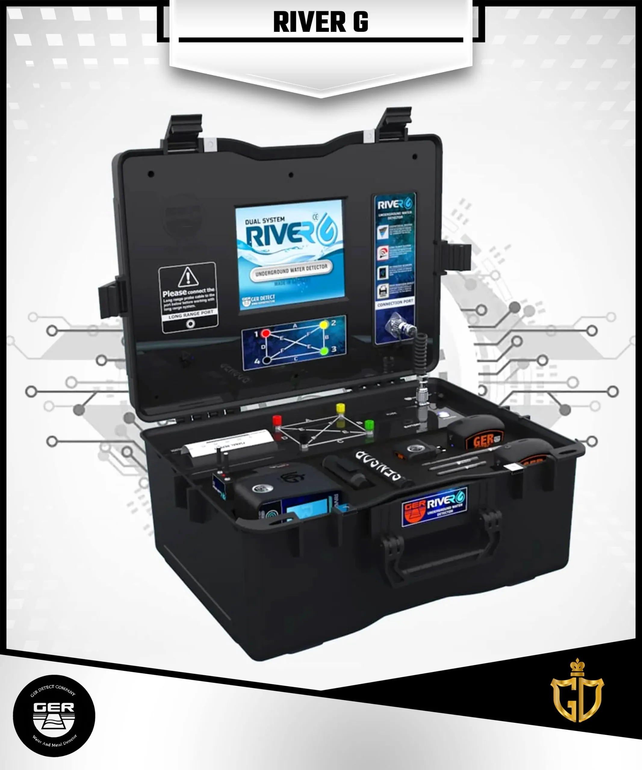
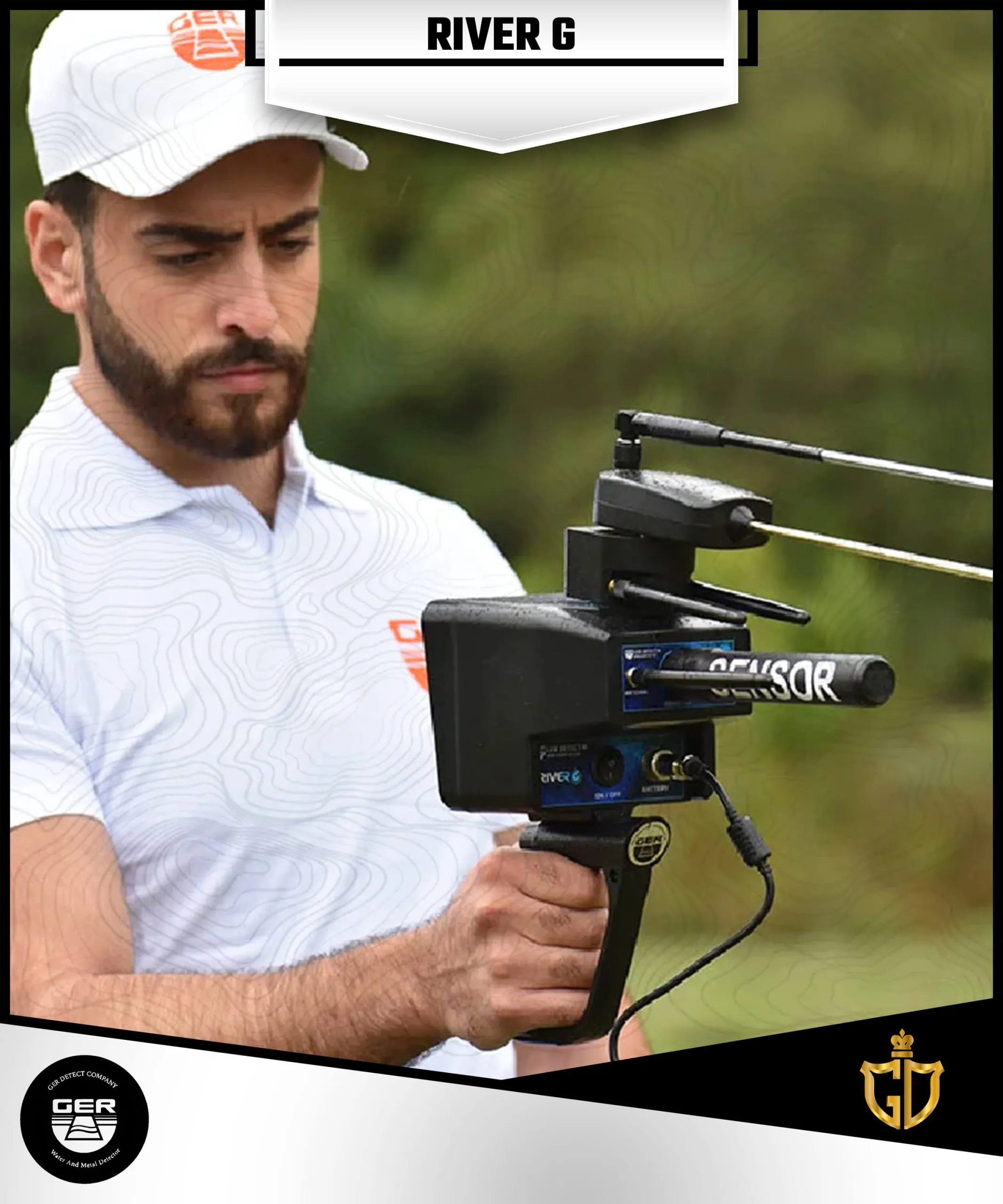
RIVER G Three systems device
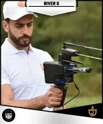
A totally new device and one of a kind worldwide River G is characterized by three systems for the detection of groundwater, artesian wells, and borewells in the ground
Device Features
RIVER G Three systems device
A totally new device and one of a kind worldwide River G is characterized by three systems for the detection of groundwater, artesian wells, and borewells in the ground.
The 3D imaging system, Geophysical search system, and Long-range system.
The device reaches a depth of 1500 meters in the ground and up to 3000 square meters of the front range with the ability to identify the water depth underground.
We congratulate ourselves, farmers, agricultural land investors, researchers, explorers, and major water exploration companies for issuing the totally new device and one of a kind worldwide, and working with three underground water exploration systems.
The device reaches a depth of 1500 meters in the ground and up to 3000 square meters of the front range.
Very accurate and high possibility of determining the type of water it is (fresh – salty – very salty).
One of the unique features is the possibility of choosing the continent and the country to be searched for underground water.
The ability to work all over the world and on different terrain with the possibility of searching in six different types of soil (rocky – natural – mixed – mineralized – clay- sandy) and show the percentage of rocks within the scanning area in the ground.
A high-quality three-dimensional image of the location of water and rocks in the water search area.
Also, with the possibility of determining the depth of underground water.
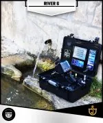
RIVER G is the modern technology to detect water sources and identified under the ground.
Search Systems
First system: 3D IMAGING SYSTEM
The RIVER G is provided with a 3D imaging system to allow the prospector to see more accurate details of the presence of underground water layers as a three-dimensional image as well as to show some of the water analysis results.
Type of water with a sign indicating the best place to dig, which contains the largest amount of water.
The depth of water detected is measured by meters.
A pie chart showing the ratio of density – rocks, and salinity.
Second system: GEOPHYSICAL SEARCH SYSTEM
The Geophysical System in River G device is one of the best and most powerful systems to find the water and the most accurate and fast in giving results.
This system provides the prospector with all the data he needs about water underground with many unique features.
Determination of the water underground depth as well as precise details of water density, salinity, and type, whether it is (fresh – salty – very salty).
Third system: LONG RANGE SYSTEM
This high-accurate system and excellence determine water location within vast areas.
The long-range system device has several features:
1. High-resolution color display with a touch option.
2. Works with touch and keypad.
3. Provides six different languages: (German – English – French – Spanish – Italian – Arabic).
4. Digital compass to determine the search direction.
5. Determine the type of soil according to the nature of the place to be searched (rocky – natural – mixed – mineralized – clay- sandy).
When capturing the target, the user can be moving to the discovered target until stand up on the target completely, confined to an area of 1 square meter, and with the ability to determine the front range of the device starting from 500 meters or 1000 or 1500 or 2000 or 2500 and 3000 meters a depth of 1500 meters under the ground.
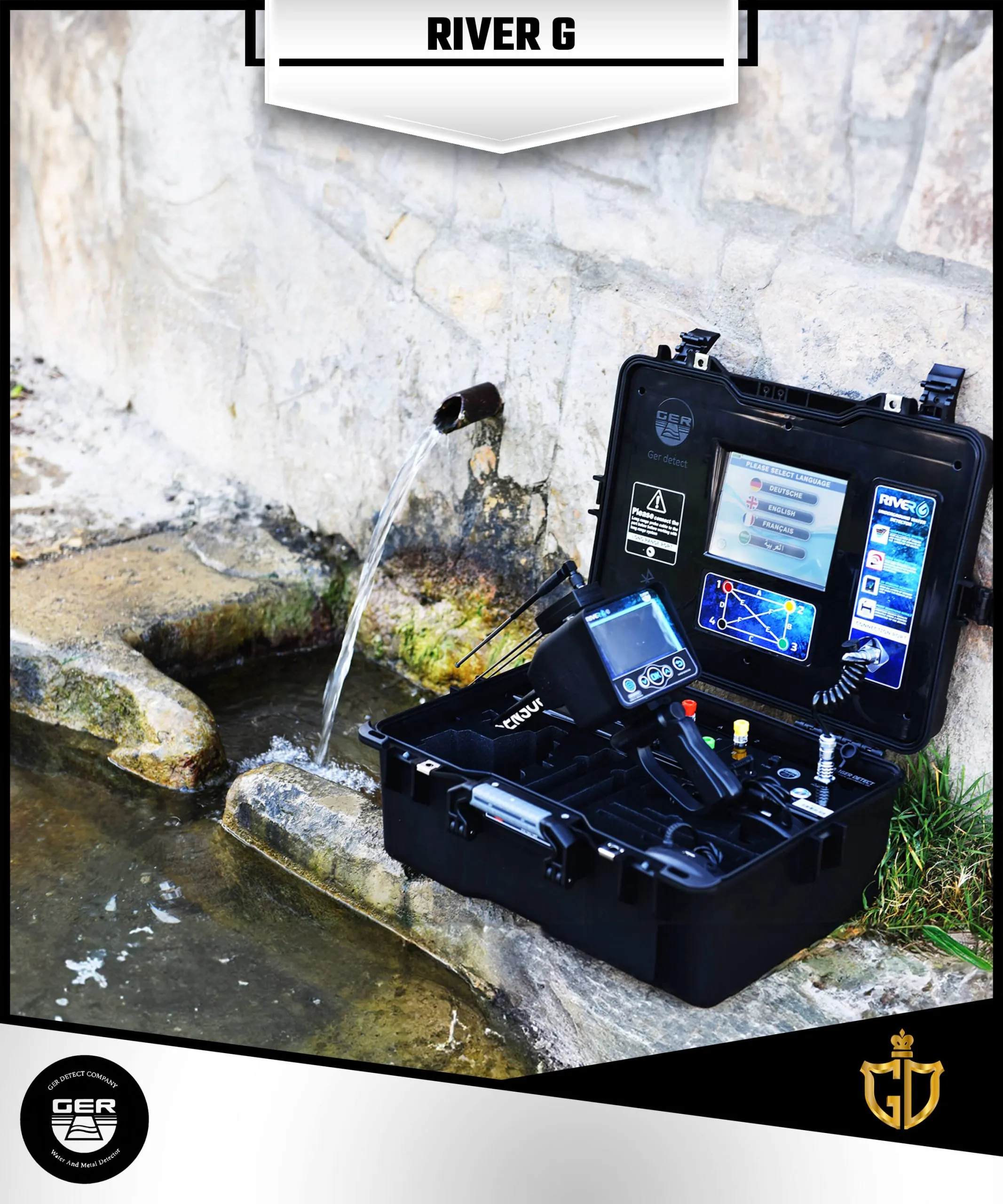
The device works in six languages (German – English – French – Spanish – Italian – Arabic).
When the device is running, you can choose one of the languages, determine the front range and When capturing the target, the device will head to the detected target, the user can be walking up to reach the target and completely confined in an area of square meters.
Device program Functions
1. Three search systems in one device.
2. Large 8-inch screen with high resolution and provides touch option.
3. A tablet for a 3D imaging system, working by Android system to show a three-dimensional photo of the places of water and the distribution of rocks in the search area.
4. High speed and accuracy in processing search data.
5. A compact printer with the main unit that prints an immediate report of the results of the water underground detection process.
6. A 4.3-inch high-resolution color screen for a long-range system and provide a touch option.
7. Works with touch screen and keypad.
8. Provides six different languages: (German – English – French – Spanish – Italian – Arabic).
9. The possibility of choosing the continent and the countries within it.
10. Digital compass to determine the search direction.
11. The possibility of determining the depth of underground water.
12. The depth of the device reaches 1500 meters.
13. The front range is up to 3000 meters with the possibility of determining the required front range.
14. Determine the type of soil according to the nature of the place to be searched (rock – natural – mixed – metal – clay-sand).
15. Certificate of origin and warranty for two years from the date of purchase.
16. The weight of the device bag is (9 kg) only.
17. The bag accessories weight is (7 kg) only.
18. The device works all over the world and on different terrains.
19. RIVER G device is one of the best German innovations with European CE certification according to international specifications.
 Depth Depth | 1500 Meter |
|---|---|
 Front Range Front Range | 3000 Meter |
 Made In Made In | Germany |
 Brand Brand | Ger |
 Warranty Warranty | 5 Years |
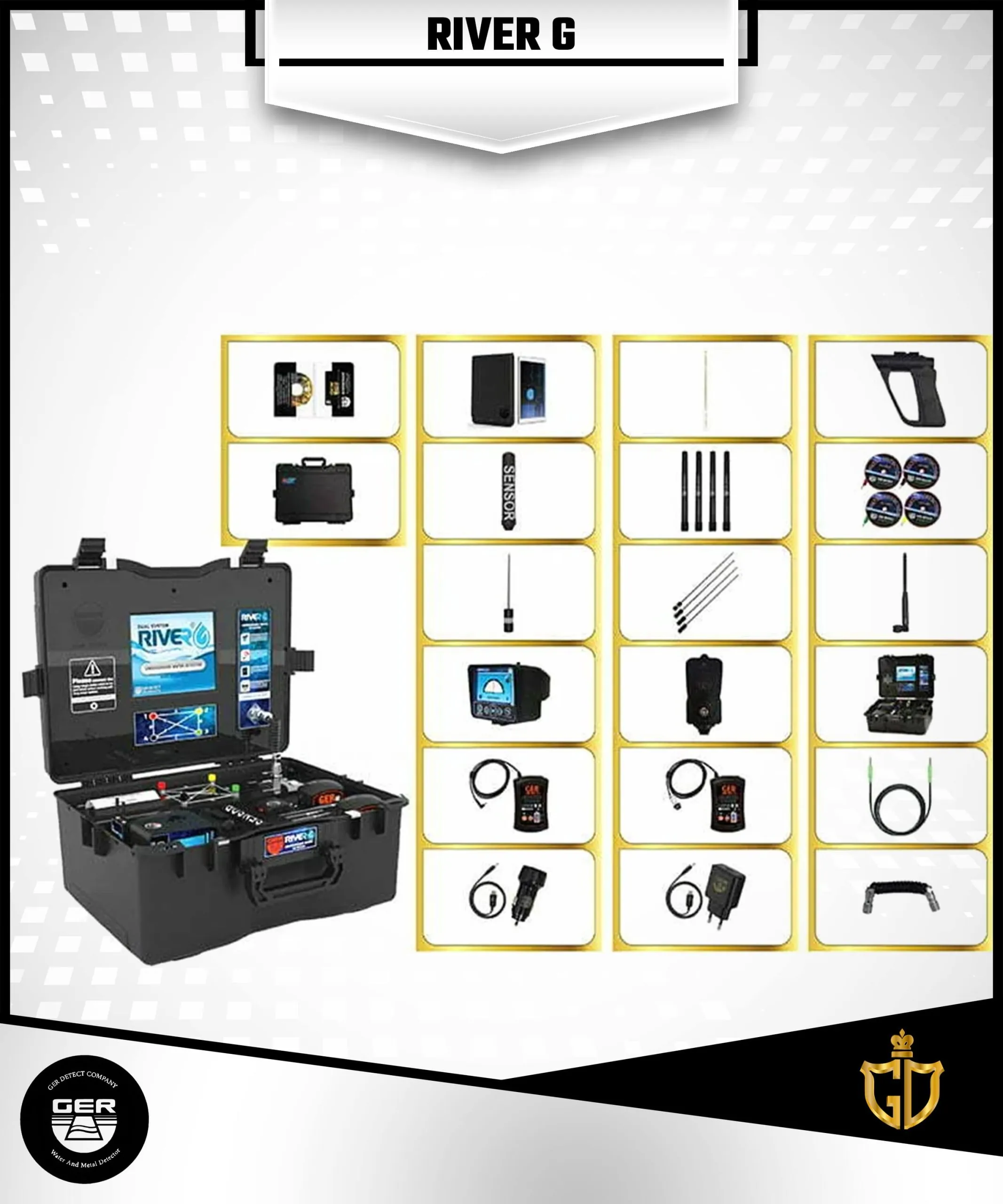
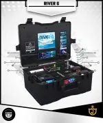
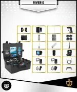
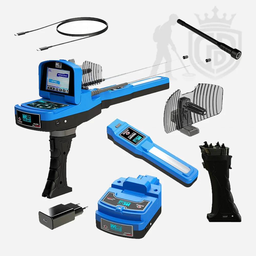
Geophysical system main unit
Contains an 8-inch screen with high resolution and touch support, a printer built-in within the main unit with a feature of immediate report printing of the search results It determines the quantity, depth and type of water and the percentage of its salinity in the ground

Long range system main unit
Contains a High-resolution color display, runs on touch and keyboard systems, digital compass to determine the search direction. It searches for water within vast areas

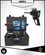
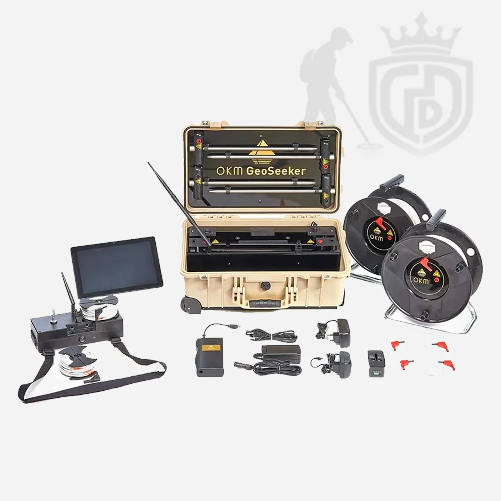
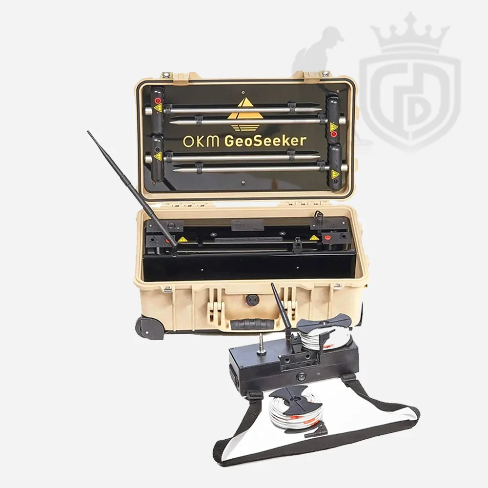
Device box
Carrying protective case for the device, made of shockproof plastic

Signal recipient
Receives signals from the water in the ground

Signal transmitter
Sends signals to the water in the ground

Handle
To hold the device

Data transfer cable
To transfer data between the main unit and the display unit

Long range probe cable
To transfer signal between the main unit of geophysical system and long range probe

Signal transmitter antennas
Sends signals to the water in the ground

Recipient antenna
Receives signals from the water in the ground

Battery charger
Charges the RIVER G battery

Geophysical system battery
A large capacity battery of 5000 mA, working for 8 to 10 hours continuous and provided with a USB port.

Long range system battery
A battery with capacity of 2500 mA, working for 8 to 10 hours continuous and provided with a USB port.

Probes
Four probes of 70-cm for geophysical system, which send and receive the signal between the geophysical device and the water in the ground.

Probe for the Long-range system
The length of the probe is 20 cm, sending and receiving the signal between the geophysical device and the ground to determine the location of the water.

3D imaging system Tablet
A tablet with a size of 8-inch, working by Android system, contains (River G Analyzer) application of 3D imaging system.

Signal transmission wires
Transfers the signal between the geophysical device and probes.

Mobile battery charger designed for cars
To charge the device battery from the car
Click Here To View Catalogue

 Imaging System Detector
Reviews
There are no reviews yet.